


Welcome to Part 1 of a 3 part segment dedicated to “The Great Wagon Road”. This road played a vital part with many of our ancestors traveling southward and westward to new lands and opportunities. The road originally began in Philadelphia, Pennsylvania and followed The Great Warriors Path which was an Indian trail that many different tribes used. If your ancestor left from Philadelphia, they probably started from 248 Market Street. This was the origin point for most of the mail carriers that began as early as 1750. They would travel 63 miles to reach Conestoga Creek and Lancaster, Pennsylvania.

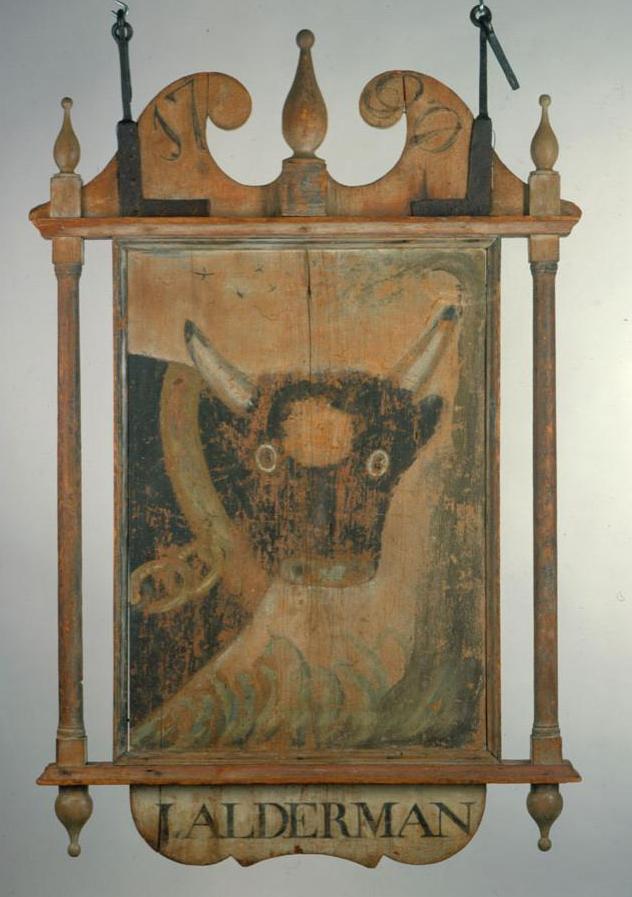
From Lancaster, the road reached York and then Gettysburg. Present day US Highway 30 basically follows the same route that our ancestors used in the 18th century. The changing seasons allowed fair weather or stormy clouds, high rivers or low-lying creek beds. The taverns and inns along the way provided information on what the road had in store for the travelers. These early businesses advertised with signs displaying artwork to demonstrate their services. This was especially helpful to the travelers who were unable to read and write. Some well-known tavern keepers were Casper Fahnestock, Evan Watkins, Thomas Harrison and Valentin Sevier.
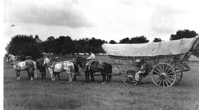
From Gettysburg, the wagons headed towards the Potomac River, present day US Highway 11 crosses the river almost exactly where Watkins Ferry crossed in the 18th century. During the years of 1744 through 1770, the ferry was operated from dawn to dusk poling the large boat ferry back and forth across the river. The “boat” grew larger with each year and could easily transport several wagons as well as horses and cattle. When we think of The Great Wagon Road, we must also remember that this road was also used as a route for farmers to get their livestock and goods to market for sale. So, several of our ancestors would be met with huge herds of cattle, sheep, pigs, etc. Many of our ancestors would have a cow attached to the wagon with a rope and it would not be out of the ordinary to find a pig or two as well. Chickens were stored in a pen and transported on the wagon. From Watkins Ferry, the road winds southward to Winchester, Virginia. Present day, Interstate 81 is very close to the original route. To reach Winchester, it would have taken approx. 3 weeks if the weather was fair. Phillip Bush’s Inn was famous and known to all of the travelers that passed through the area. Winchester was a small village and it was founded in 1744.

From Winchester, the route takes present day Interstate 81 and makes its way southward to Harrisonburg with the Shenandoah Mountains to the east. The road becomes very rough in this area during the 1740s up to the 1760s. The terrain is up and down and many travelers became weary due to sickness. Supplies are running out and the weight of their personal possessions are beginning to wear down on the travelers. The lucky ones have horses and could travel much quicker, 20 miles or more a day. Many had handmade carts and many simply walked with their possessions on their backs. This was a very long trip, taking months to complete and the weather, depending on the season, would make traveling much more difficult. When the travelers reached Staunton, Virginia, they all would have been aware of the Indian raids during the 1750s. Staunton was known as the Valley of Virginia and many German and Scottish settlers settled in this area from 1743 through the 1750s. A stone house was built with an underground passage that led to a spring. Many of these first settlers lost their lives during Indian raids. Captain Robert McKenzie visited the area in 1757 and found nothing of the original settlement except for spears, broken tomahawks and ashes of burnt homes and huts. Indian attacks were frequent along the Wagon Road as it traveled through Virginia and into the Carolinas. Our ancestors often traveled in groups for protection. The Shawnee were very active in this area and the travelers would have been fully aware of this as they traveled through Staunton.

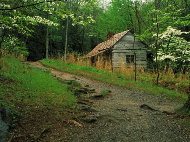
The above picture shows New River near Fort Chiswell, Virginia. This picture displays the terrain our ancestors were faced with in this area. From Staunton to Fort Chiswell is approx. 144 miles. During this portion of the trip, supplies could be purchased in Big Lick, today known as Roanoke.
After crossing the Roanoke River, travelers could take a new trail westward on the new Wilderness Road, or stay on the The Great Wagon Road into the piedmont area of North Carolina. This marks the end of segment 1 of our 3 part series. The next blog will focus on the entry of North Carolina by our ancestors on this historic route. Below portrays a list of supplies that would have been packed on the wagons.
Food Supplies
200 pounds of flour
30 pounds of pilot bread (hardtack)
75 pounds of bacon
10 pounds of rice
5 pounds of coffee
2 pounds of tea
25 pounds of sugar
½ bushel of dried beans
1 bushel of dried fruit
2 pounds of saleratus (baking soda)
10 pounds of salt
½ bushel of corn meal
½ bushel of corn, parched and ground
1 small keg of vinegar
Water would have been collected along the way and stored in a barrel. All of these items, depending on the quantity, would have been added weight on the wagon or cart. Their personal items may have included tools such as an axe, hatchet, shovel, hammer, animal traps and rope. They would also have household items such as butter churn, butter mold, candles, cooking utensils, dishes, coffee grinder, bedding, clothing, lantern and personal items such as Family Bible, books, doll, rifle and pistol.

The next segment will cover North Carolina and the piedmont settlement. Please share your comments and your knowledge of The Great Wagon Road.
Categories: Pennsylvania


This is wonderful! My 6th ggrandfather left Chambersburg in 1756 after an Indian raid on his parents farm, killing them and carrying some away. Through Virginia to North Carolina where he had some relatives.
LikeLiked by 1 person
I think it’s great that we can learn from history and preserve our family trees. Thank You So Much for sharing about your 6th g-grandfather.
LikeLike
Interesting. My 3rd great grandfather was a teamster who traveled from Columbiana County to Philadelphia and Baltimore hauling goods both east and west. He would have traveled this route. Thank you for the story.
LikeLiked by 1 person
In 2017 the a3Genealogy research team solved three brickwall cases through the study of early trails and migrations our of PA. We are sold! Thanks for sharing.
LikeLiked by 1 person
I wish to thank you for this information. I am surprised to learn that the route headed south from Gettysburg. Many of our Evans ancestors headed west from Breezewood, Everett, and Bedford, then on to Somerset.
LikeLiked by 1 person
I had a comment but the program froze during and before completion. I am disappointed.
LikeLike
Reblogged this on Bobertelliott's Blog.
LikeLike
This is fascinating. Many of my ancestors traveled this road to western Virginia and to North Carolina. Thank you.
LikeLiked by 1 person
History has always been my favorite subject and I just keep looking for what it keeps revealing to me , thank you.
LikeLiked by 1 person
Thank You so much !! History and Genealogy have always intrigued me as well since I was a young girl in school. You never know what treasures you will find in the past.
LikeLike
My ancestors travelled this road down to North Carolina. Very interesting! Look forward to next entry.
Gloria Knight
LikeLiked by 1 person
My ancestors left Bucks County, PA in the early 1750’s and “paused” in Frederick County, MA just long enough to have 8 children, then continued on south to Washington County, VA about 1769. They would have taken this route, so it is wonderful to learn more about it.
LikeLiked by 1 person
Thank You so much for sharing this about your family. It is so good hearing from others about their family and the history of this fascinating trail.
LikeLike
My ancestors left Egg Harbor, Atlantic, New Jersey and headed to Marietta Ohio around 1840. I am in hope of discovering their likely route. I might add they were from a line of ship builders most notably Captain John Van Sant. Any suggestions are appreciated.
LikeLiked by 1 person
Hi Bob, First allow me to Thank You for your question. Families who migrated from New Jersey to the Ohio Valley would have traveled along several routes. It is most likely that The Great Wagon Road and/or the National Pike Road were the routes they used. The latter was the first Federal Funded route and it encouraged many families to move during the time period of 1840 to the Ohio Valley area.
LikeLike
I’m looking for information about a wagon train coming from Pennsylvania to wv around 1867…68..who came upon a massacre of dead indians… they found a baby girl left to die….they to the baby to roane co wv to a clan known as the black harpers, because they were believed to have Indian ancestry…they adopted the baby… I’m looking for info to verify this…thank you
LikeLiked by 1 person
I have never heard this story for the time period of 1867 to 1868. Could you possibly have the locations incorrect or the dates incorrect?
LikeLike